Rise of the Smartivist: A New Paradigm for the Smart City
Rise of the Smartivist: A New Paradigm for the Smart City?
Summary:
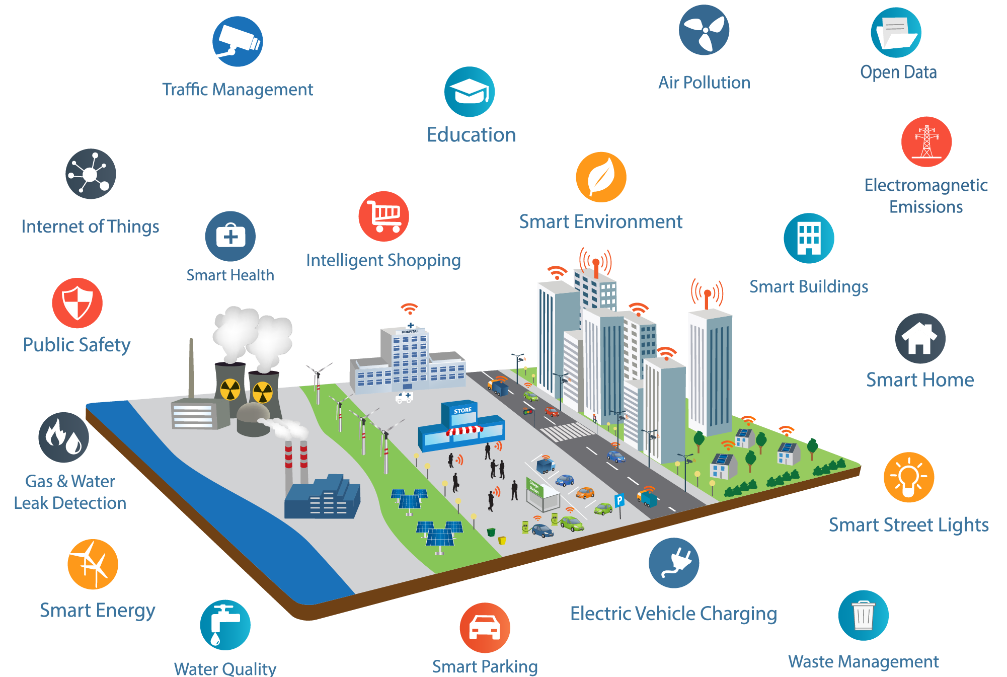
The concept of smart cities has evolved over the past seven years, moving from a technology-centric vision to a more human-centric approach. The latest stage of this evolution is being referred to as “Smart City 3.0,” where the emphasis is on collaboration and participation with citizens to create solutions that improve quality of life and generate prosperity. The key to success in this new paradigm is collective intelligence and a user-centric approach that takes into account the needs of all stakeholders.
Concept of Smart Cities:
The concept of smart cities has been evolving rapidly over the past seven years, and the way cities approach urban transformation has changed dramatically. Initially driven by technology providers, governments have now realized that technology is just an enabler for achieving their goals and that top-down approaches or a “master planned” vision are not the key to success.
There have been three generations of smart cities so far:
- Smart Cities 1.0: a technology-driven vision led by major technology companies to create efficient and innovative cities.
- Smart Cities 2.0: a government-led vision that utilizes technology as an enabler to improve quality of life.
- Smart Cities 3.0: a citizen- or human-centric vision of smart cities that is based on co-creation with citizens to improve quality of life and generate prosperity.
According to Boyd Cohen’s framework of evolutionary smart city stages, cities around the world are following different strategic approaches based on their development and knowledge status. Some cities begin with a technology-centric approach, while others start with government-led initiatives that embrace technology. However, neither of these approaches is sufficient for creating a better, more livable, and sustainable place for all stakeholders.
The key to creating a smart city 3.0 is to facilitate participation and collaboration across all stakeholders. It’s important to know why smart city solutions are needed, how they can be implemented, what benefits they offer, and whether any risks or objections exist. This requires a bottom-up, co-creation approach that takes into account the needs and problems of citizens, businesses, commuters, entrepreneurs, academia, and non-profit organizations.
The definition of a “smart city” has evolved to include not just technology but also a user-centric approach that takes into account the needs of all actors. The acceptance and use of smart city solutions require a participative, open, transparent, and inclusive mindset. Collective intelligence is the key to success, representing a new paradigm in the development of smarter cities.
In conclusion, the journey towards becoming a smart city is not primarily driven by a technology partnership or a government-led master plan. It’s the result of intelligent initiatives and solutions that are created and adopted through collective intelligence, enabling an efficient transformation of the community. The new paradigm of smart cities requires the rise of “smartivists” who understand the importance of participation and collaboration in creating a better place for all.
The Evolution of Common Use in Airports: From LAX to Shanghai and Beyond
The Evolution of Common Use in Airports: From LAX to Shanghai and Beyond The Rise of Common Use and What It Means for Airlines and Passengers Abstract The [...]

Rise of the Smartivist: A New Paradigm for the Smart City
Rise of the Smartivist: A New Paradigm for the Smart City? Summary: The concept of smart cities has evolved over the past seven years, moving from a technology-centric vision to a more human-centric [...]

Konectcity Technology Corp is selected as Semi Finalist Most Fundable Company by Pepperdine Graziadio Business School
Konectcity Technology Corp is selected as Semi Finalist Most Fundable Company by Pepperdine Graziadio Business School Konectcity Technology is thrilled to announce that it reached the Semi Finals recognition on the Pepperdine Graziadio [...]

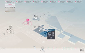
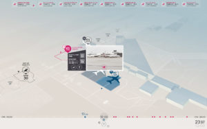
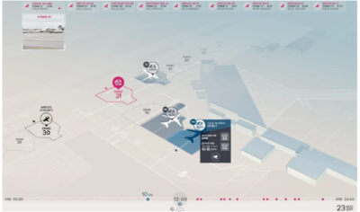
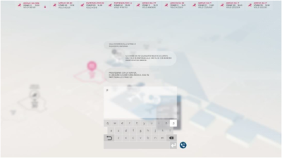
Case Study – Smart Airport Italy
Case Study - Smart Airport Italy Alitalia was in desperate need of reducing costs and personnel redundancy around their shipping and logistic facilities when partnering with Etihad investing as [...]
Case Study – Smart City Municipalities in Italy
Smart City Municipalities Case Study Problem: Manual paper based systems, lack of system processes & procedures, manual tasks, poor time management, loss of revenue, Budgets overspend. Background: Municipalities have the power to levy [...]

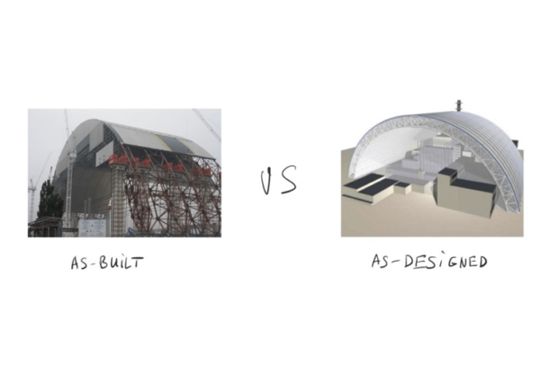
What is a Digital Twin?
What is a Digital Twin? ADVANCED IMAGING ALGORITHM FOR THE DIGITAL MANAGEMENT OF BUILDINGS AND CONSTRUCTION SITES What if we could have instant access to all the information about a construction site, down [...]